Oberhalbstein (Val Surses)
Panorama from along the road between the villages Tiefencastel and Cunter.
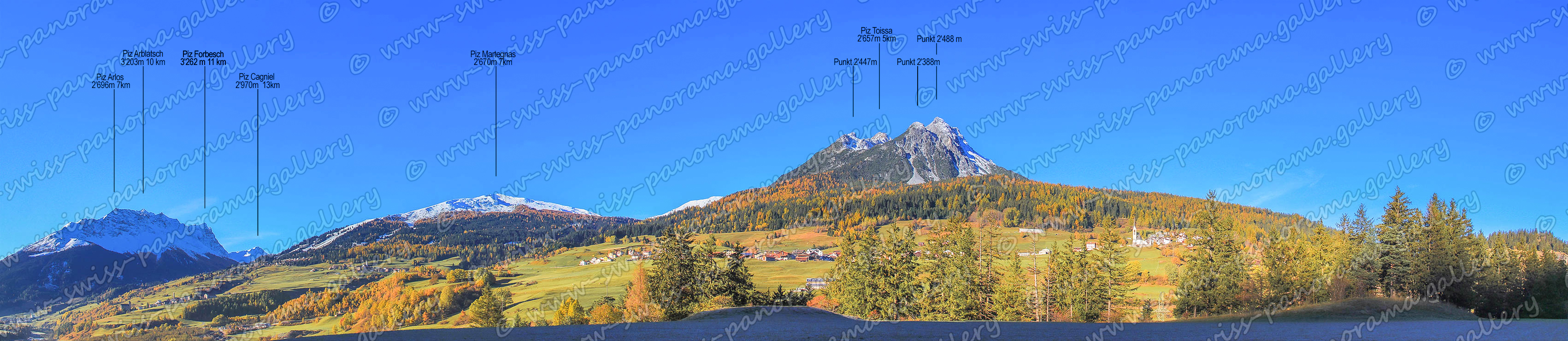
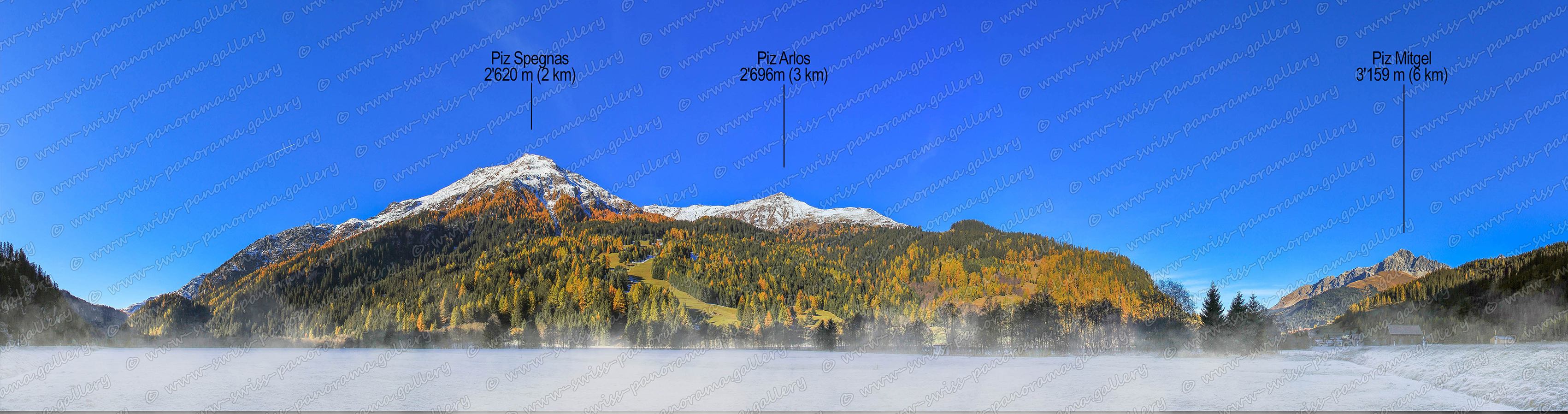
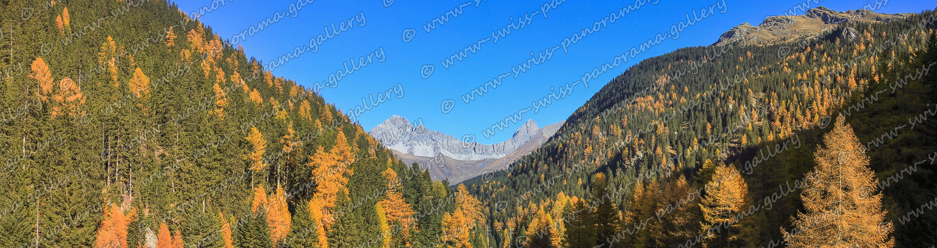
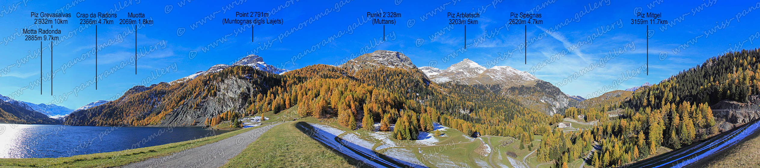
The Oberhalbstein Valley, also known as Val Surses, stretches from the village Tiefencastel to Bivio at the Julier Pass Road. Most of the valley is located within Nature Park Ela, which was founded in the year 2006 and covers an area of about 600 square kilometres.
Early morning on a late autumn day, morning frost and morning fog lies over the Rona Plateau.
Panorama Mulegns, a view from below the small village Mulegns towards Piz Mitgel (3'158 m / left) and Corn da Tinizong (3'173 m / right).
Panorama Marmorerasee, a view from the Marmorera dam.
The Marmorera lake with a surface area of 1.41 km2 formed after the completion of the Marmorera dam in 1954 when the old village of Marmorera was flooded. The village was rebuilt above the lake.